


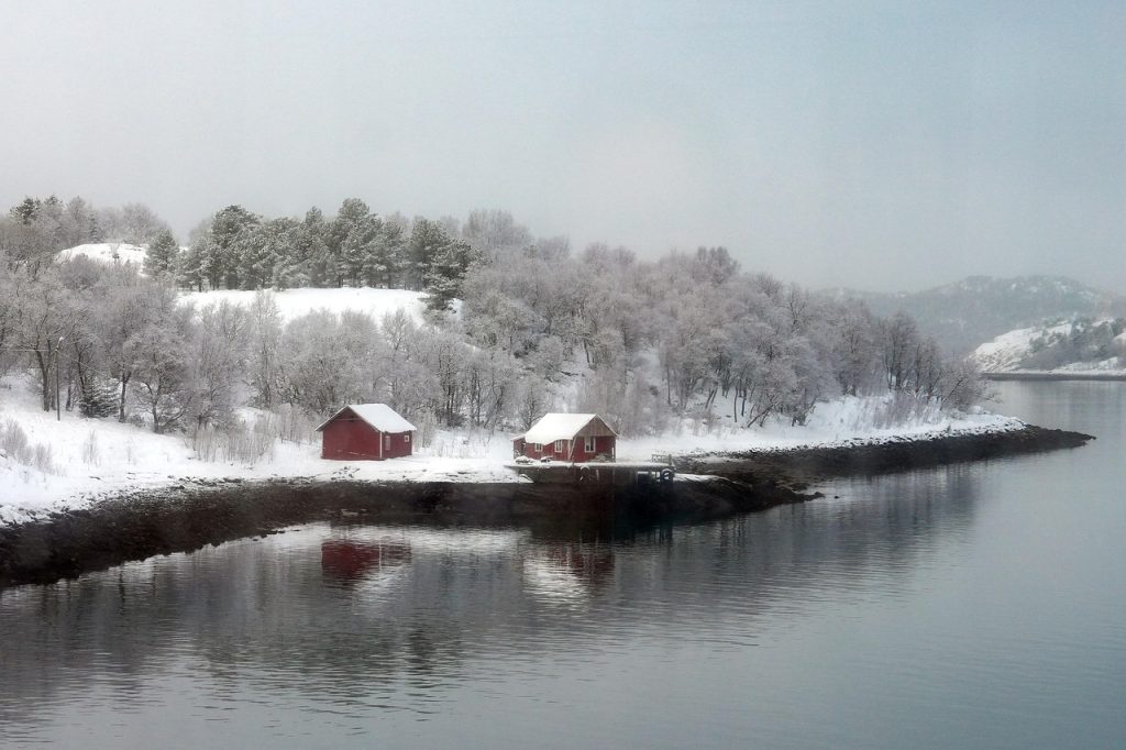
Along the East Coast, a winter storm is rarely just snow on a map. A low can pull warm, wet air off the Atlantic while cold air presses down from Canada, and the clash happens in layers, not just at street level.
That is why one county can shovel while the next one hears sleet ticking on windows. A track shift of a few dozen miles can move the changeover line and rewrite totals overnight, especially near I-95.
Forecasters watch moisture feeds, jet-stream timing, and the temperature profile aloft to tell whether flakes stay flakes, melt into rain, or refreeze into pellets on the way down. They also explain sudden flip-flops.
Gulf And Atlantic Moisture Supply
Moisture is the fuel, and many big East Coast storms draw from two reservoirs. A southerly flow can tap the Gulf of Mexico and then hand off to the Atlantic as the low turns north.
When that pipeline stays open, clouds deepen, precipitation spreads farther inland, and snowfall rates can surge. If dry air cuts in or the feed narrows, totals drop quickly, and the edge of the shield becomes a hard line on the ground.
Meteorologists track precipitable water and the strength of the low-level jet. When both run high, the storm has the moisture to keep producing, even as winds shift and temperatures wobble along the coast.
Jet Stream Placement And Timing

The jet stream sets the stage overhead, steering the surface low and deciding how efficiently air can rise. When a sharp upper trough digs and a jet streak places strong divergence aloft over the Mid-Atlantic, pressure falls faster.
That deepening can tighten the storm, expand the precipitation shield, and ramp winds along the coast. If the northern and southern streams stay out of phase, lift is weaker, the low is lopsided, and forecasts swing from steady snow to patchy mix.
Timing matters. If the strongest lift arrives before cold air locks in, snow mixes sooner. If it arrives after the cold is entrenched, totals overperform.
The Low’s Track And Coastal Redevelopment

Storm track draws the boundary between the cold side and the warm side. A low that cuts inland can drag above-freezing air northward, pushing rain deep into the corridor, while a low that transfers energy and redevelops near the coast can wrap colder air back toward cities.
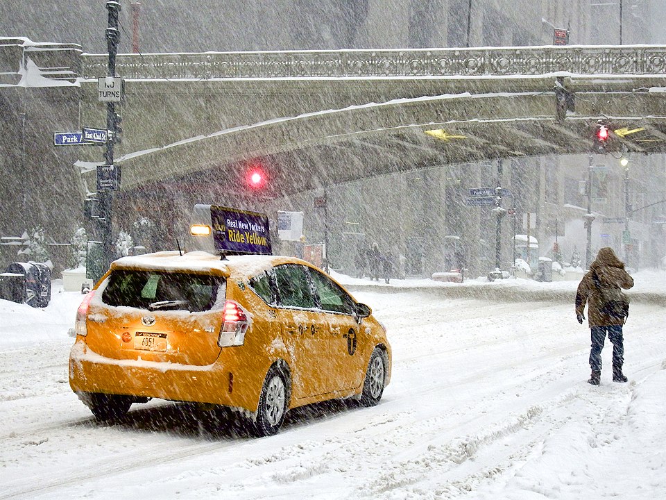
Even a 50-mile wobble can move the rain-snow line across a metro area and change how long snow piles up before a mix arrives. That is why Washington, D.C., Philadelphia, and New York can see big swings in totals with what looks like a tiny map adjustment.
When the low deepens offshore, the colder northwest side can become the snow sweet spot and hold for hours.
High Pressure To The North

High pressure to the north is the quiet supplier of cold air, especially east of the Appalachians. When a strong high is parked over Quebec or northern New England, it can feed dense, low-level cold southward under the clouds.
That cold wedge can hold near the surface even while warmer air slides in aloft, setting up sleet or freezing rain. If the high shifts east too fast or weakens, the cold layer thins, temperatures creep up from the bottom, and the changeover line races inland.
A stronger pressure gradient can also boost a northeast wind, keeping coastal cities cooler for longer than models expect early in the storm.
Temperature Layers Aloft
Precipitation type is decided in the vertical, not by a single surface reading. Snow may form high in the cloud where temperatures support crystal growth, then fall through whatever stack of warm and cold layers the storm has built.
A warm layer aloft can melt flakes into raindrops. If the cold layer near the ground is deep, those drops refreeze into sleet; if it is shallow, they can freeze on contact as glaze. Small shifts in that warm nose are why forecasters obsess over soundings and short-range updates during a changeover.
The 32°F line at the surface can mislead, because a thousand feet up may be above freezing at 850 mb.
Ocean Air And Coastal Fronts

The Atlantic can help a storm grow while also nudging coastal areas toward rain. Onshore winds pull in a shallow marine layer that can lift temperatures at the surface, even when the air aloft stays cold enough for snow.
Where marine air collides with colder continental air, a coastal front can form and sharpen the gradient. That can leave beaches wet and slushy while towns a short drive inland see heavy, steady snow. When winds pivot, the front can jump, and the precipitation type can flip quickly without the radar changing much.
Colder shelf waters blunt that push. Warmer waters can strengthen it late in the season.
Appalachians And Cold Air Damming
Terrain shapes winter weather more than many forecasts admit, especially from Virginia into the Carolinas. Cold air can dam up against the eastern slopes of the Appalachians, forming a shallow wedge that is hard to scour out.
Warmer, moist air then rides over that wedge, which favors sleet and freezing rain while higher ridges stay cold enough for snow. At the same time, elevation boosts totals in the interior because air cools as it rises and squeezes more moisture from the storm. That is why totals can spike with altitude while nearby lowlands hover near 32°F and keep changing character.
The wedge can linger past dawn.
Snowfall Rate And Dynamic Cooling
Rate can change the outcome because heavy precipitation cools the column as it falls. When lift is strong, melting and evaporation pull heat from the air, and temperatures can drop just enough for rain to flip to wet snow.
That cooling can also deepen the near-surface cold layer, turning a marginal setup into a short-lived burst that overdelivers. When bands weaken or shift, the cooling engine shuts off, warm air noses back in, and the storm cycles between snow, sleet, and rain along narrow corridors.
In the heaviest bands, rates near 1 inch an hour can overcome borderline temperatures for a time near the changeover zone.
Banding, Dry Slots, And Deformation Zones
Storm structure is the last decider, and it explains why totals can jump inside tight corridors. As a coastal low matures, it can form bands where frontogenesis and lift align, producing hours of heavy snow on the colder northwest side.
At the same time, a dry slot can wrap in from the south and cut precipitation off abruptly, even with cold air still present. Where the deformation zone stalls, snow keeps stacking; where it wobbles, a predicted jackpot turns into a quieter night. This is why a 10-mile shift in band placement can feel like a different storm altogether.
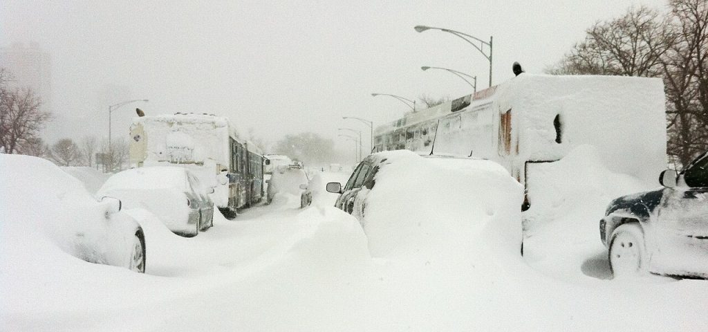
East Coast winter storms look dramatic on radar, but their real story is subtle: moisture, timing, and a few critical layers of air. When those pieces line up, snow feels certain; when one slips, ice or rain takes over. The science stays steady, even when the outcome changes by the exit.