

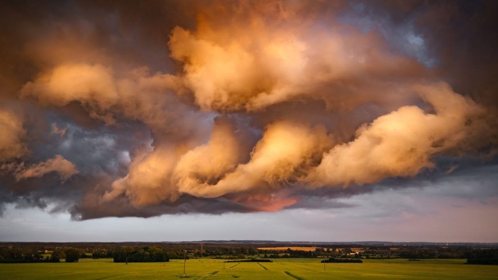
No state can be called safe in a nuclear fallout scenario, and that is the point this ranking keeps front and center. It looks at probabilities, not promises, using the factors that actually shape outcomes: prevailing winds, distance from likely targets, terrain, water limits, and food production. The western and northern interior often comes out ahead for practical reasons, but weather can turn a strong map into a weak one in hours. A mountain valley can fare better than a major city in one pattern, then lose that edge when storms, wind shifts, or local terrain effects change the plume path. That is the hard truth.
Montana
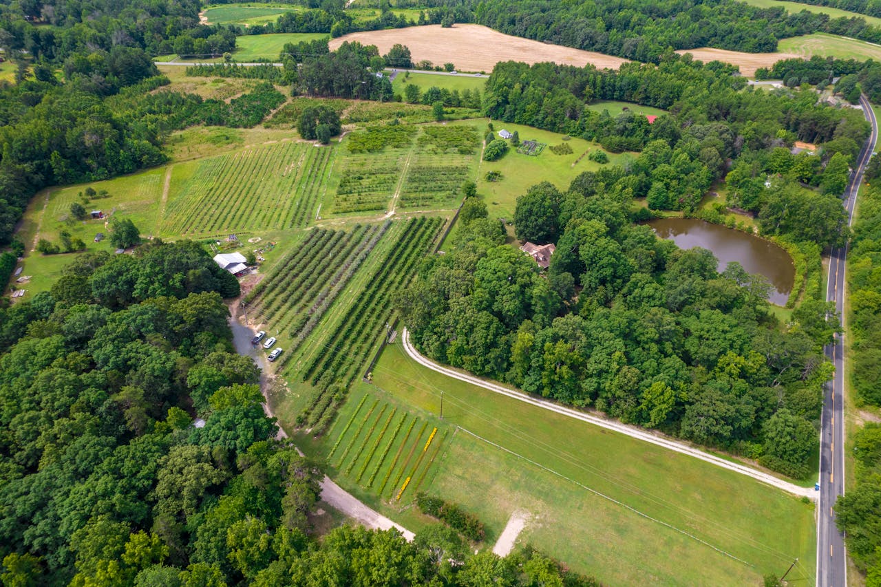
Montana stays near the top because scale still matters. It has long distances between rural communities, major wheat and cattle output, and western mountain terrain that can change how weather moves through local valleys and passes. USDA state data also shows a broad farm base, which matters more than comfort in a long disruption.
The complication is not small. Malmstrom Air Force Base hosts a missile wing, so survivability would vary by county, and shifting weather can redirect fallout paths in ways no static map can settle. Montana looks strong on odds, but the safer answer is always local geography, not a state line.
Idaho
Idaho ranks high for a practical reason: distance, food, and terrain line up better than they do in most states. USDA data points to potatoes, dairy, cattle, and hay, giving it a durable production mix instead of a single-crop weakness. Mountain valleys and rugged topography can also reshape local wind behavior and runoff.
Even here, the hard truth is variability. River basins, inversion layers, and storms can change deposition over short distances, so one county may face a very different outcome than the next. Idaho has a strong statistical case, but only real-time modeling can show what a specific event would produce.
Utah
Utah earns a high spot because it combines interior geography with a real farm and livestock base, not just desert imagery. USDA records show major production in cattle, hay, dairy, and corn, while many communities sit in basins and valleys where terrain can alter wind flow. That matters when fallout patterns are weather driven.
It still is not a simple shelter map. Water is the pressure point, and contamination of reservoirs or irrigation systems would matter as much as airborne fallout over time. Utah offers better odds than many coastal or industrial states, but resilience there would depend heavily on clean water management.
South Dakota
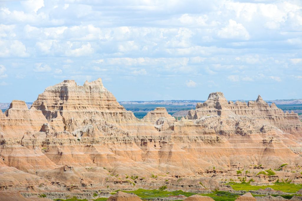
South Dakota remains a credible choice because it pairs low population density with serious farm output. USDA figures show cattle, corn, soybeans, and hay at scale, and the western half, including the Black Hills, adds elevation and terrain variety that can shape how contamination moves and settles across valleys and plains.
The caution is strategic infrastructure. Ellsworth Air Force Base is home to the 28th Bomb Wing and B-1B bombers, so some communities would carry more risk than a statewide average suggests. South Dakota can look favorable on paper, but local siting and wind timing would decide much more during any crisis.
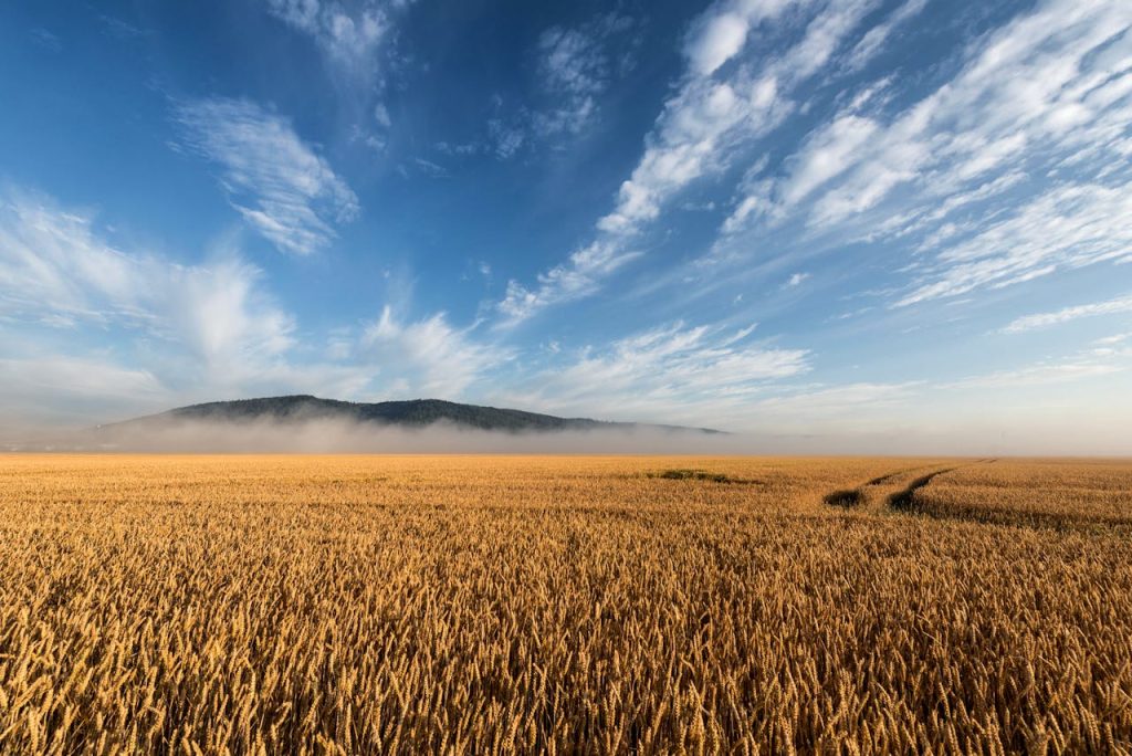
North Dakota
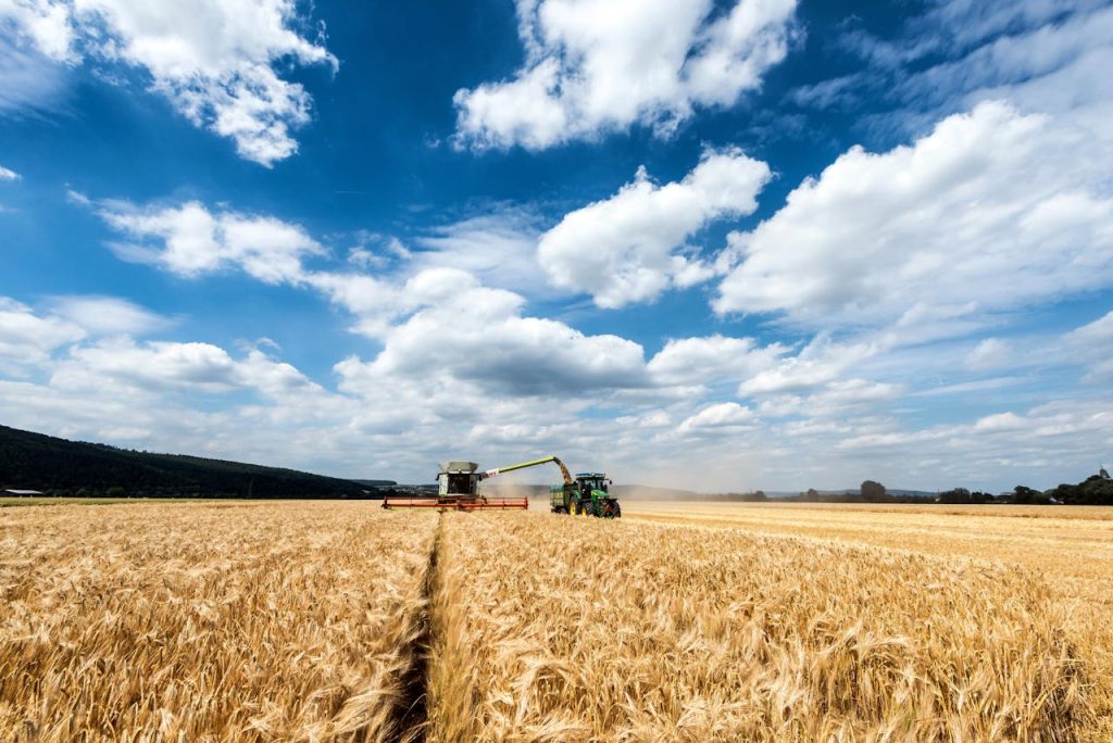
North Dakota has one of the strongest food-security arguments in the country. USDA data shows major output in wheat, soybeans, corn, and cattle, with crops like canola and dry beans adding depth if supply chains break down. That agricultural range becomes a real advantage after the first weeks of disruption and rationing.
But North Dakota also carries a direct strategic burden. Minot Air Force Base includes the 91st Missile Wing and a large Minuteman III missile complex, which means risk would not be spread evenly across the state. It stays in the ranking because of farmland and space, but its local differences are huge.
Wyoming
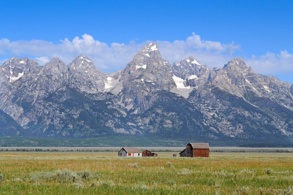
Wyoming is one of the most uneven cases in the country, which is why it belongs in the middle. USDA data shows cattle, hay, and wheat as major outputs, and the western half offers altitude, sparse settlement, and mountain barriers that can help some areas avoid heavier deposition under common wind patterns and terrain effects.
The eastern side changes the picture fast. F.E. Warren Air Force Base hosts the 90th Missile Wing and Minuteman III missiles, making that corridor a different risk environment than remote mountain counties. Wyoming proves the point of this ranking better than most states: survivability is deeply local.
New Mexico
New Mexico often makes the list because distance and low density still matter, especially outside its biggest metros. USDA data shows a base in cattle, dairy, hay, and chile production, and wide rural stretches create separation from dense industrial belts that would likely draw early attention in a large exchange.
It ranks lower than many expect because target complexity and water stress are hard limits. Los Alamos National Laboratory and Sandia in Albuquerque are key parts of the U.S. nuclear enterprise, and long-term resilience in an arid state depends on clean water access. New Mexico has room, but its constraints are real.
Nebraska
Nebraska makes the top eight on agriculture strength, even with clear tradeoffs. USDA data shows a powerhouse mix of cattle, corn, soybeans, and hogs, which could support regional food continuity better than many states. Its central location also keeps it away from the heaviest coastal target clusters assumed in many scenarios.
The problem is that central does not mean low risk. Offutt Air Force Base hosts U.S. Strategic Command as a tenant unit, and Plains storm tracks can make fallout behavior hard to generalize from one county to the next. Nebraska belongs in the conversation, but it also proves how uncertain the map stays.
What remains after the rankings is a simple truth: geography can improve the odds, but it cannot remove uncertainty. Wind shifts, storms, terrain, and local infrastructure can change outcomes fast, which is why preparation matters more than chasing a perfect place. Communities that plan for sheltering, water, food, backup power, and communication are far better positioned than communities that rely on a hopeful map.