

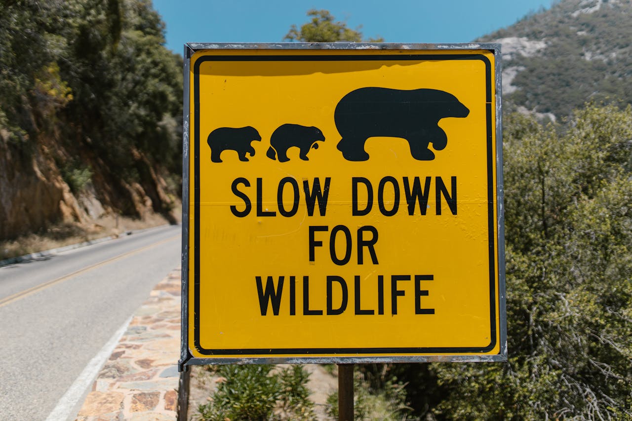
Across grasslands, forests, and mountain edges, rangers are reading subtle clues that large carnivores are testing new routes between old strongholds. The pattern is rarely random. As roads, farms, fire scars, and expanding towns reshape habitat, lions and bears probe ridgelines, river corridors, culverts, and fence breaks that still allow movement. Early signals usually appear weeks or months before the public notices a headline sighting. Field teams now treat those signals as practical early warnings for communities and wildlife managers, because early action can reduce conflict and protect connectivity over time.
Repeated Camera Hits in the Same Pinch Points
When camera grids begin recording repeated passes at the same saddle, creek pinch point, or culvert, rangers treat it as more than curiosity. Repetition matters far more than one dramatic image.
Long-term monitoring in Banff found that crossing structures plus fencing reshaped movement and sharply lowered wildlife-vehicle collisions, while wary species increased use as they adapted. When detections recur in tight intervals at the same structure across multiple weeks, field teams read that pattern as an early operational sign that a corridor is becoming reliable for large carnivores.
Fresh Track Lines That Keep Pointing the Same Way
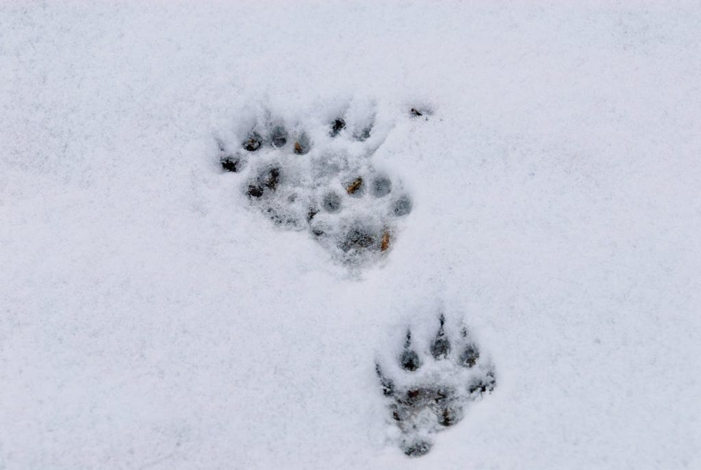
Fresh track sequences reveal direction, pace, and intent. Mountain lion tracks often show four toes and usually no claw marks, while bear track width, stride, and toe spread help teams sort species and likely age class with surprising precision.
Rangers track whether those prints appear on consecutive days along one drainage, ridge saddle, or river margin. A repeating path with consistent travel direction, especially outside known core territory, often signals exploratory movement that can develop into regular corridor use within a single season, sometimes before cameras confirm it.
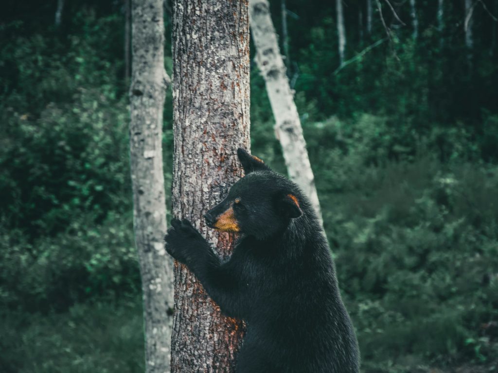
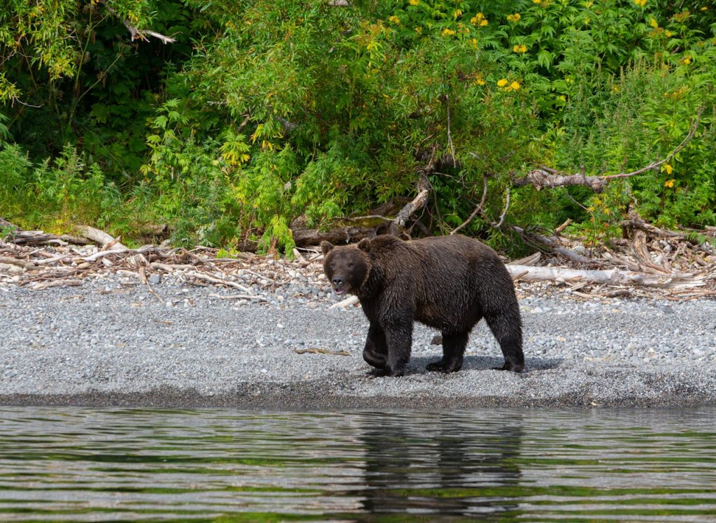
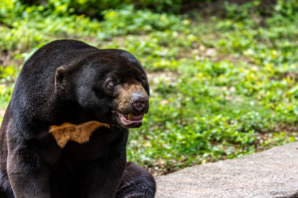
Clusters of Scent Marks, Scrapes, and Rub Trees
Ali Kazal/Pexels
Scrape lines, scent marks, and clawed sign along game trails tell a social story, not just a movement story. Big cats and bears communicate occupancy before most communities notice a visible increase in sightings.
Rocky Mountain field guidance notes mountain lions cache prey and use scent signals, while bear specialists map rubbing trees, hair, and bark marks to trace repeat passage. When those markers cluster in the same connective strip for weeks and continue through changing weather, rangers usually flag that strip as an active corridor candidate and increase monitoring nearby.
Edge-Habitat Feeding Patterns That Suddenly Repeat
A sudden run of partially covered carcasses, dragged prey, or scavenger clustering in edge habitat can indicate predators are traveling through, feeding quickly, and moving on. Rangers compare kill timing, location, and revisit frequency before drawing conclusions, because one event alone can mislead.
In fragmented landscapes, these feeding clues often appear near safe cover linked to travel routes, not only in core territories. That shift matters because it suggests animals are testing predictable stop points, the stage where an informal pathway starts behaving like a corridor with repeat use.
Dawn and Dusk Sightings Near the Same Road Gaps
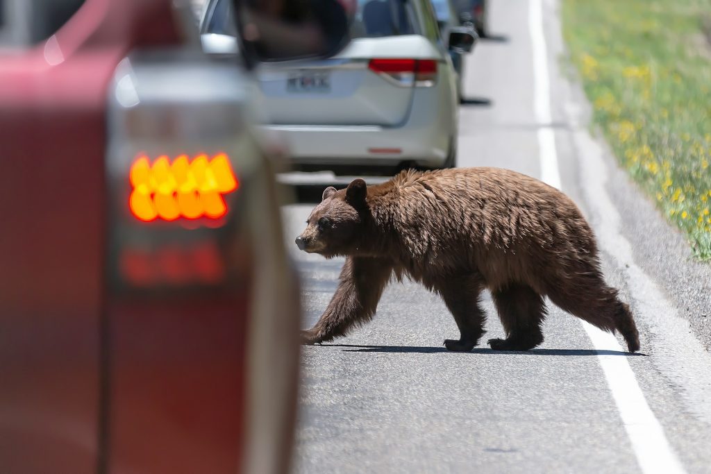
Rangers pay close attention when dawn and dusk sightings rise near the same highway segments, fence gaps, or dry river crossings. These are classic bottlenecks where movement pressure concentrates before a corridor is formally mapped, and they often surface in local reports early.
Road ecology evidence from Banff and corridor work around California’s US-101 shows the same pattern: where barriers compress movement, mortality risk and genetic isolation grow. Repeated near-miss reports in one narrow stretch are often the first public-facing warning of attempted passage between separated habitat blocks.
Conflict Logs Rising in a Narrow Geographic Band
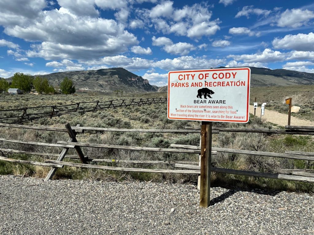
Incident logs can expose corridor shifts before satellite maps do. When livestock losses, garbage raids, or den-adjacent encounters rise in a narrow band between larger habitats, rangers read that geography as signal rather than random noise during key months.
Recent lion movement research in shared African landscapes, along with Kenya corridor updates, shows how fragmentation, human pressure, and seasonal stress can redirect carnivore travel into mixed-use zones. Conflict data, reviewed carefully, often becomes the earliest practical indicator of route change and helps target prevention.
Collar Paths Reusing the Same Arc Between Habitat Blocks
The strongest early warning often comes from collars. GPS tracks that repeatedly reuse the same arc between protected blocks show animals choosing a route, not wandering by chance across a broad landscape.
Lion studies in East Africa and regional corridor modeling in southern Africa both show that connectivity frequently depends on land outside park boundaries and overlaps with conflict risk at transition zones. When collar paths, field sign, and ranger logs converge on one strip, teams usually escalate monitoring, outreach, and preventive measures quickly, while movement is still manageable.
Genetic and Outlier Records Appearing Between Core Populations
Hair-snag DNA, photo identification, and verified outlier records can reveal population exchange before corridor use becomes obvious to nearby towns. Rangers value these lines of evidence because they show connectivity, not just a one-off sighting, and can flag hidden exchange.
U.S. grizzly guidance recognizes movement and verified occurrences outside recovery zones, and lion conservation science similarly prioritizes dispersal links for long-term genetic health. When new individuals appear between core populations, corridor function is often already underway, even before official maps are updated.