


Across planting seasons and harvest windows, many farmers still read the sky before they read a screen. That habit is not nostalgia. It is a field-tested way of noticing moisture, wind, pressure, and cloud structure in real time, especially when conditions shift faster than an hourly forecast update. The strongest weather lore works because it was built on repeated observation, but it can fail when a useful sign gets stretched too far or read without context. Old habits hold up best when the sky is treated like evidence, not certainty, and when each clue is weighed with the season, the ground, and the hour at hand.
Red Sunrise And Red Sunset Need Context

Farmers have trusted red light at the horizon for generations, and the science behind it is solid. NOAA ties the old saying to moving high and low pressure systems and to how sunlight scatters through cleaner or dustier air. The Library of Congress also notes that a deep red sunrise can signal moisture and a low-pressure system moving in.
The common miss is treating every red sky as a promise. The pattern works best where weather usually travels west to east, and it gives direction more than timing. A vivid sunset can still be followed by a local shower if humidity, terrain, or a quick boundary changes the setup overnight.
Rings Around The Moon Signal Moisture, Not Certainty

A bright ring around the moon or sun still gets quick attention in farm country, and for good reason. The National Weather Service explains that halos form when light refracts through ice crystals in a thin veil of cirrus clouds. That high cloud layer often points to moisture moving in well before lower clouds arrive.
The missed forecast mistake is assuming the ring means rain will start at once, or that it must rain at all. A halo is a clue aloft, not a stopwatch. It becomes more useful when it is followed by thickening cloud cover, falling visibility, or a steady shift in wind and humidity later in the day. Field context matters.
Mares Tails Show Wind Aloft Before The Front Arrives
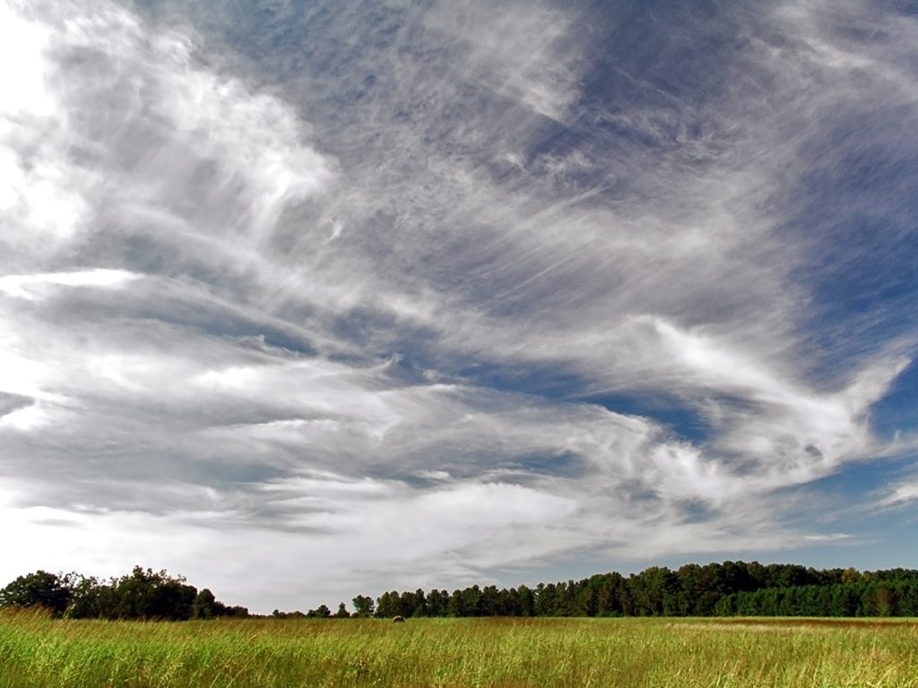
Thin, streaky cirrus often look harmless, but experienced growers watch them closely. The Met Office notes that cirrus often forms ahead of a warm front, signaling a change, and it describes cirrus uncinus as the horse-tail form that gives old sayings their image. Those high ice clouds can mark fast flow overhead while fields below stay quiet.
A frequent miss is treating one patch of high cloud as the whole forecast. Some cirrus brings little surface impact. The stronger clue is persistence, spread, and change in cloud type, especially when the sky starts to look busier hour by hour instead of clearing out. That trend matters.
Cloud Layers Thicken In A Sequence That Matters

Many farmers trust not just one cloud, but the order clouds arrive. The NWS cloud guide explains that cirrus can thicken into cirrostratus, then lower into altostratus, stratus, and nimbostratus as a warm front approaches. That sequence is useful because it shows a weather shift building in layers instead of appearing all at once.
The mistake is skipping the middle of the story. The same NWS guide notes that altostratus often signals a warm front and may thicken and lower before steadier rain or snow develops, while altostratus itself may only bring sprinkles. Reading the sequence beats reacting to one gray sky in isolation.
Morning Dew Reveals The Night Setup Beneath Clear Skies
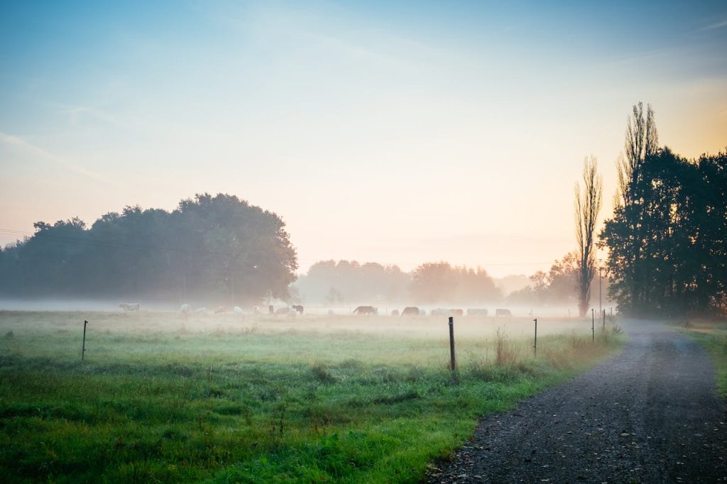
Heavier dawn dew tells a quiet but valuable weather story. An NWS dew forecasting guide says favorable conditions include clear skies, light wind, decent soil moisture, and a small dewpoint depression, with cooling at the ground bringing air to saturation. Farmers read that shine on leaves as proof of what happened near the surface overnight.
The forecast miss comes when dew gets treated like an all-day forecast. Dew mainly describes the night setup: calm air, radiational cooling, and moisture near the ground. A humid afternoon storm can still build later, especially if clouds grow vertically after a warm morning start.
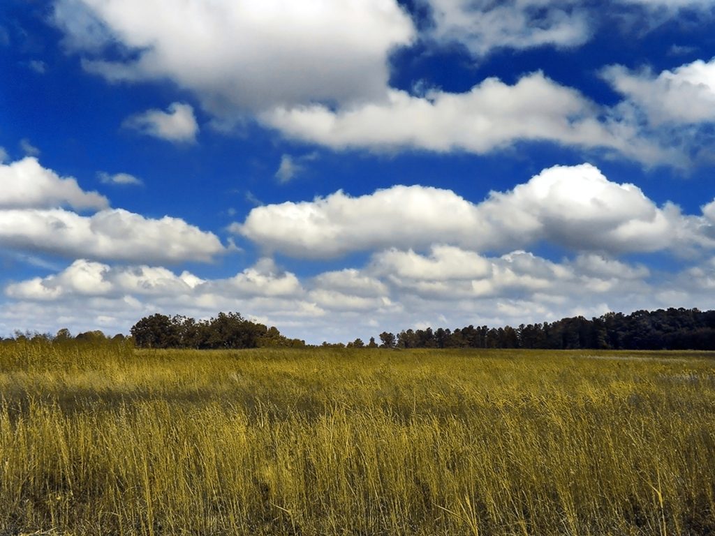
Towering Cumulus Can Beat The Forecast Clock

By late morning or early afternoon, a cauliflower-shaped cloud can matter more than a fresh app update. NOAA and the NWS describe towering cumulus as an early sign of thunderstorm development, and they note that mature storms often flatten into an anvil top. In farm work, that visual lead time can protect hay, equipment, and spraying plans.
A common miss is waiting for rain or thunder before changing course. The sky often gives notice first through rapid vertical growth, darker bases, and spreading tops. When those signs arrive on a hot, humid day, the practical forecast may be shorter than the official hourly line suggests.
Morning Altocumulus Rows Can Hint At Later Storms
Morning rows of altocumulus can look decorative, but they often carry a practical message. The NWS cloud classification guide notes that altocumulus may align in rows and that forms with some vertical extent can indicate elevated instability, especially in the morning, with a chance that deeper convection develops later in the day.
A missed forecast mistake is treating these clouds as harmless texture because the air at ground level feels fine. When the pattern grows taller, thicker, or more uneven by midday, it can signal a shorter path to showers or storms than a broad daily forecast might suggest as heating builds.