


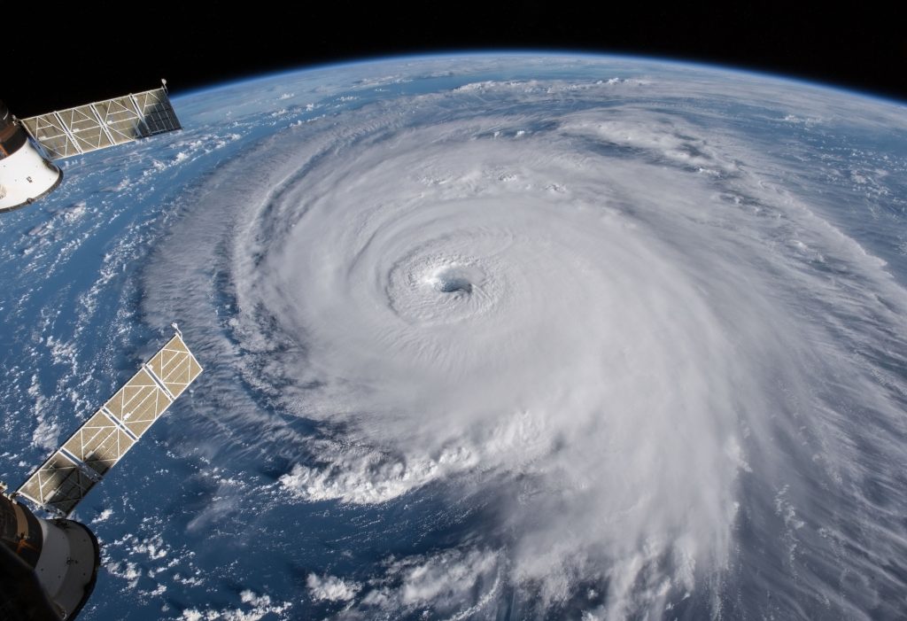
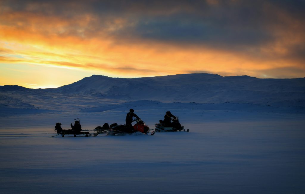
Some winters feel less like a season and more like a conveyor belt. One storm clears, roads reopen, and then the next system arrives before the last shovel load has melted. That rhythm usually comes from the atmosphere settling into a repeatable pattern, with the jet stream steering storms along the same track while cold air and moisture reload between passes. Add a blocking high, a tropical pulse, or a warm ocean corridor, and the pattern can hold for days or weeks. The result is not randomness. It is weather running on rails.
The Jet Stream Locks Into A Longwave Pattern
When the jet stream develops big, stable bends, storms tend to follow the same path repeatedly. NOAA explains that the jet stream steers weather systems, and its strongest contrasts often sharpen in winter, helping organize storm tracks. Longwave ridges and troughs can act like a template that keeps regenerating low pressure systems downstream, so the same regions stay in the firing line. The pattern can be active even when individual storms differ, because the steering flow stays stubbornly similar over many days.
Shortwaves Keep Reloading The Track
Inside a longwave pattern, smaller disturbances can ride along like ripples on a current. NOAA’s JetStream materials describe longwaves and shortwaves and note that their motion can create persistent weather patterns. Each shortwave can trigger its own round of lift, precipitation, and pressure falls, especially when it reaches a favorable zone near a strong jet streak. That is how a region can get hit, clear briefly, and then get hit again, with only a thin lull between systems.
Blocking Patterns Slow Everything Down
A blocking high is the atmosphere’s way of putting a roadblock in front of the usual west to east flow. NOAA’s Climate Prediction Center describes atmospheric blocking as an interruption of normal zonal flow that obstructs the progression of disturbances for days to weeks, often bringing prolonged extremes. When blocking sits upstream or downstream of a storm track, it can stall systems, force storms to detour into the same corridor, or keep cold air locked in place so each new wave falls into an already primed setup.
The Arctic Oscillation Tips The Door Open Or Shut
The Arctic Oscillation is a pressure pattern that influences how easily Arctic air spills south. NOAA Climate.gov notes that the AO can strongly influence winter weather across major population centers in North America, Europe, and Asia. In a negative phase, colder air is more likely to surge into mid-latitudes, increasing the chance that multiple systems have cold air available to work with. That repeated cold reload can turn ordinary storms into repeated snow or ice events.
The North Atlantic Oscillation Shapes East Coast Storminess
The NAO tracks pressure differences across the North Atlantic and is tied to shifts in the jet stream and storm tracks. NOAA Climate.gov describes the NAO as a seesawing pressure pattern, with phases that often bring predictable shifts in regional weather. A negative NAO can favor blocking near Greenland and a more amplified pattern, which can support repeated coastal storms and colder air in the right places. When the NAO stays in one mode for a stretch, storms can keep following familiar grooves.
Atmospheric Rivers Can Arrive Like A Freight Train
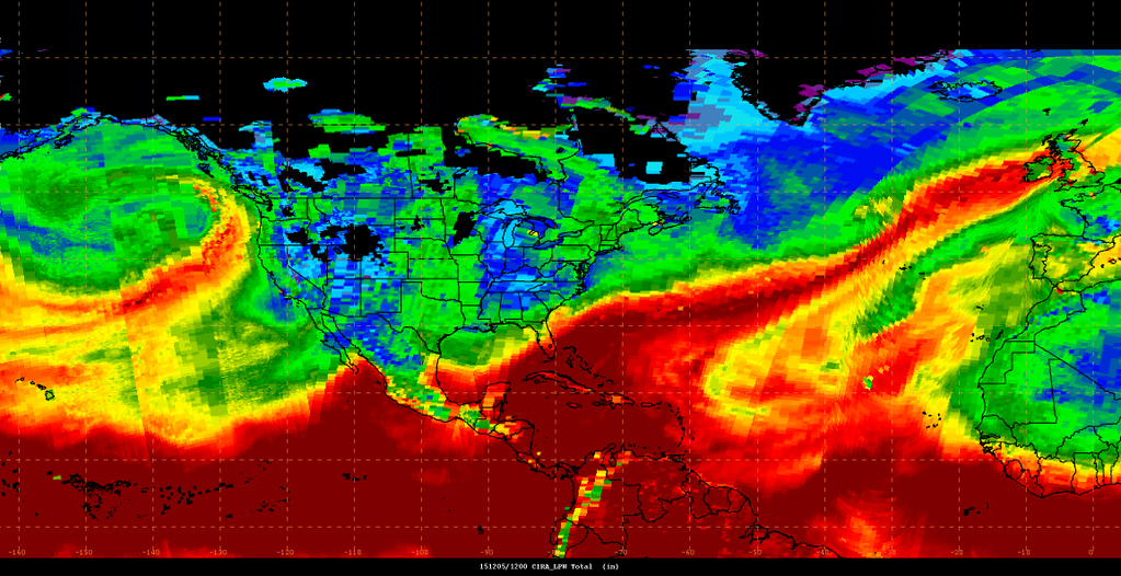
On the West Coast, repeated storms often share the same moisture source. NOAA describes atmospheric rivers as long, narrow corridors that transport vast amounts of water vapor, and it has documented sequences where multiple atmospheric rivers fueled strong winter storms in a short window. When the jet stream keeps aiming these plumes at the coast, each incoming low pressure system taps the same pipeline. The impacts stack quickly, with snow levels, flooding risk, and travel disruption rising because the ground and snowpack never get a full reset.
Lake-Effect Bands Can Extend The Wave Even After The Main Storm
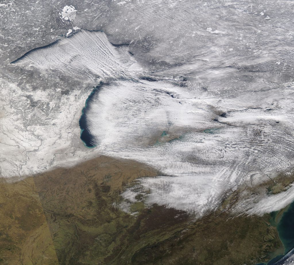
Sometimes the “next storm” is not a new cyclone at all, but a local machine that turns on behind the main system. The National Weather Service explains lake-effect snow as cold air moving over relatively warm Great Lakes waters, picking up heat and moisture that forms narrow snow bands that can be intense. If a larger pattern keeps sending cold air across the lakes, bands can persist for days, shifting with wind direction and piling snow in the same communities repeatedly. That can make a winter stretch feel relentless even between synoptic storms.